
SAR4BAT
SAR4BAT – SAR data fusion for the bathymetric surveys of the seabed and coastal archaeological sites along the coast. The project aims to develop, using satellite data source SAR (synthetic aperture radars), a system for generating maps of possible areas of maritime archaeological sites and bathymetric maps of the coastal seabed. A breakthrough in the research ever attempted before, and whose results can be applied far beyond the simple search of archaeological sites under the sea.
The project will, therefore, explore an application area of particular relevance, which is marine archeology, especially in a country so rich in historical and cultural heritage such as ours, proposing to use this technique for search, identification and characterization of underwater archaeological sites located near the coast.
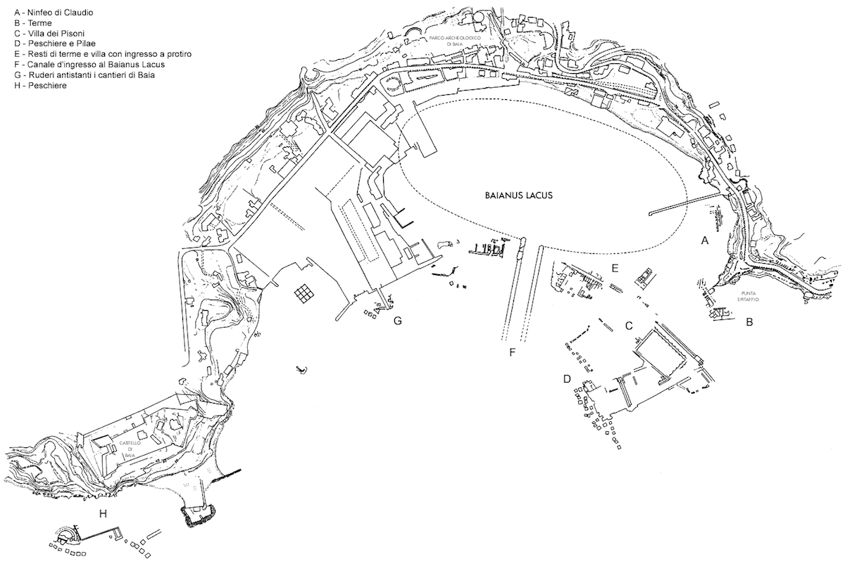
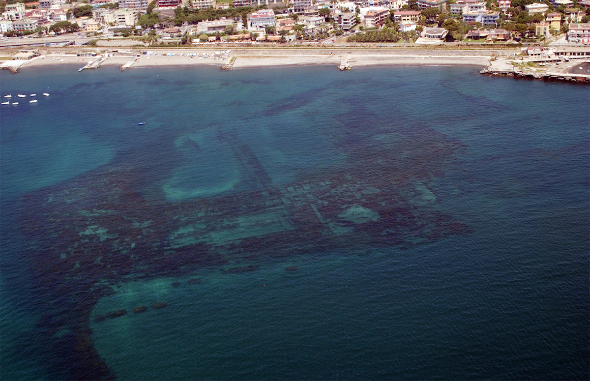
The use of SAR data for the detection of possible underwater archaeological sites, monitoring of the seabed and coastal bathymetric survey of the seabed themselves, is of great interest in the activities of the Superintendence of Cultural Heritage, in particular for the departments and bodies that deal with underwater archaeological parks. In particular, the project will be validated in marine areas surrounding the island of Ischia, and is of particular interest eg. for the setting up of the underwater Archaeological Park Charter Roman (Ischia), where it is currently running a campaign to search for the Archaeological Museum of Lacco Ameno (for the considerable pre-existing archaeological on the seabed coastal island of Ischia) and the Submerged Archaeological Park of Baia.
Cliente: ASI – Agenzia Spaziale Italiana
Ruolo Kell: Primo contraente
Partner: Lit Com s.r.l. Procida – Napoli, Università di Napoli Federico II, Consorzio ALI, Euro.Soft Napoli